
North Miami Beach Neighbor Records
Official sources describe parts of a block, not a complete household directory. The county map defines parcel shape and proximity. The assessment roll names owners and mailing destinations. City neighborhood pages describe civic areas and service contacts. Election records have a separate access path with protected fields and addresses removed.
| Official source | Block-level value | How to use it |
|---|---|---|
| Miami-Dade e-Maps | Parcel boundaries, folios, aerial and street context | Free map, search and click parcels |
| Property Appraiser | Owner, situs, mailing address, legal description, exemptions | Free address, owner, subdivision or folio search |
| Community Services map | Nearby government, parks, libraries, districts and services | Address, folio, intersection or landmark with radius |
| North Miami Beach neighborhood pages | Named civic areas, boundaries and city contacts | Public city pages |
| Voter records | Permitted registration fields, precinct and participation history | Own-record lookup or lawful public-file request |
| Library reverse directories | Historic occupants listed by street and number | MDPLS Main or Lafe Allen inquiry |
An owner name is not a list of your neighbors. The owner may live elsewhere, and a home may include relatives or renters not named on the roll. A matching situs and mailing address plus a homestead exemption supports owner occupancy, but it still does not prove every resident.
Map North Miami Beach Neighbors
The county GIS tools answer the first question: which lots actually surround an address? In Miami-Dade e-Maps, search the address, switch between street and aerial views, and use the parcel layer. Copy each folio rather than reading an owner label at low zoom.
- Find the starting address and confirm its parcel outline.
- Click each parcel that shares a side, rear line, corner, canal edge, or other relevant boundary.
- Save each folio and open it in Property Search for owner and mailing fields.
- Compare the situs and mailing addresses, exemptions, and legal descriptions without treating them as a household roster.
- Use the community map for nearby civic context, then verify whether each parcel is inside the city.
The flow is address to parcel, parcel to folio, folio to assessment roll, then roll to cautious identity checks. For every parcel along a long road, use the North Miami Beach street directory method instead.
North Miami Beach Neighbor Radius
The Community Services map searches by address, folio, intersection, or landmark. A radius control expands the report around that point. Layers can show government sites, parks, libraries, public safety, assessment districts, water and sewer service, and demographic context. Those layers describe the area, not private households.
The Miami-Dade Community Services map provides the documented address and radius interface.
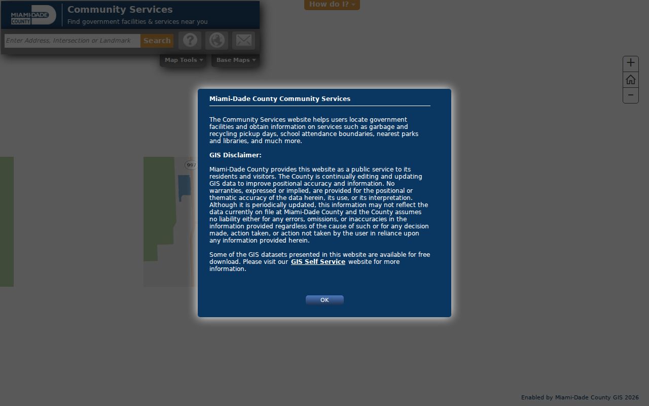
The resulting report helps distinguish a nearby service or district from an actual adjacent parcel.
North Miami Beach Neighbor Boundaries
The city names thirteen neighborhoods and publishes descriptions for areas such as Allen Park, Oak Grove, and City Center. Planning and code operations use fourteen groupings because some operational zones combine or divide places differently. Named areas include Eastern Shores, Skylake, Sunray, Pickwick, Windward, Uleta and Pan Uleta, Monticello, Washington Park, Highland Village, and West Dixie Industrial.
The Neighborhood Improvements page is the official source for names and boundary descriptions.
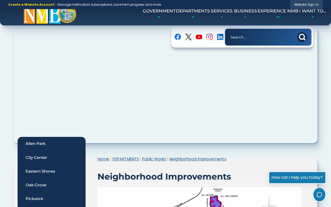
These boundaries help route a civic question, but they do not establish a private association roster or household membership.
The city's Resident Information page adds the neighborhood map and government districts.
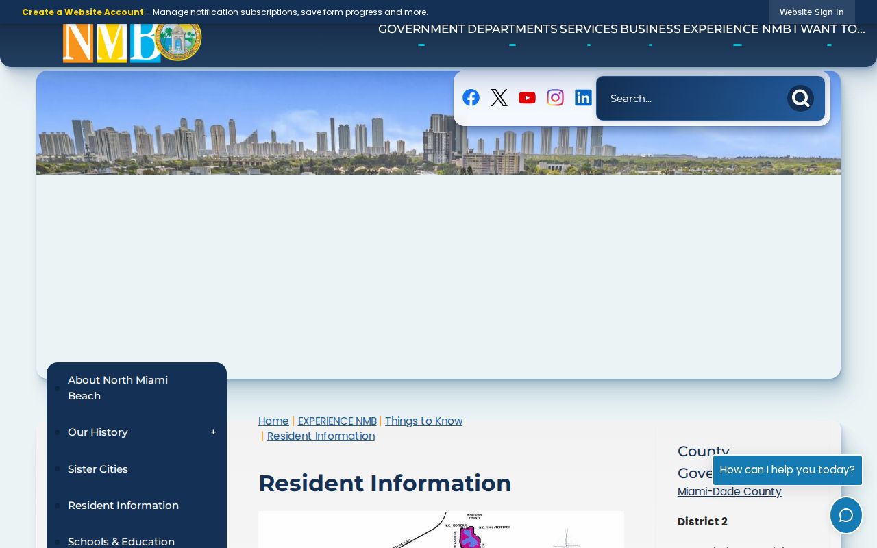
Use the map to check the civic label separately from the ZIP, subdivision, and parcel municipality.
Eastern Shores Neighbor Geometry
Eastern Shores has canal and waterfront parcels. A lot across the water may look close on a road map without sharing a land boundary or access route. Sky Lake and Maule Lake add more irregular edges, and the city's inland setting surprises people who assume its postal name describes a beach city.
An unincorporated pocket also interrupts ordinary city assumptions near some neighborhood areas. Record municipality, ZIP, neighborhood, subdivision, and folio as separate facts. County GIS geometry is more reliable than a guess based on the next house number.
Geography tip. On canal, lake, or enclave edges, inspect parcel lines and jurisdiction layers before calling two addresses neighbors.
North Miami Beach Neighbor Contacts
The city supplies public contacts for municipal areas, but it does not publish a universal private resident roster. Community Development manages planning, zoning, code compliance, and local business-tax material. Code zones connect a place with an assigned officer, not with the names of every person nearby.
Community Development
17050 NE 19th Avenue, first floor
305-948-2966
Weekdays, 8 a.m. to 5 p.m.
Code Compliance
17050 NE 19th Avenue
305-948-2964
Zone and case contacts
Office of the City Clerk
17011 NE 19th Avenue
305-787-6001
Portal, phone, or in-person requests
Ask for a defined record, zone, date range, or address. Florida Chapter 119 does not require special wording, but a precise request reduces delay and redaction work.
North Miami Beach Neighbor Voter Rules
The statewide Check Your Voter Status form is identity-gated and intended to confirm the voter's own record. It is not a tool for browsing everyone on a block. A lawful public voter-file request is a separate channel. Public fields can include name, residence or mailing address, party, precinct and district, and whether a person took part in an election. Participation history never reveals a ballot choice.
Florida law protects Social Security numbers, driver-license or Florida ID numbers, registration location, and signature copies. Safe Address participants and other protected voters can have addresses withheld. The Florida voter confidentiality statute sets key field limits.
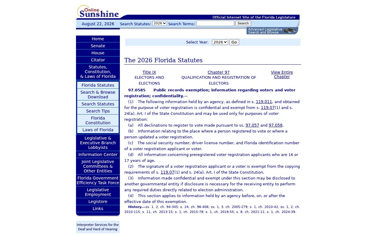
The statute explains why a voter source may lawfully omit data even when a property roll remains open.
North Miami Beach Neighbor Tools
Commercial neighbor-search tools compile names from many feeds, but their results can lag, merge people, or attach a person to an old address. Official records are narrower. They identify the custodian, date, and legal role, which makes each claim easier to verify.
| Source type | Strength | Main limit |
|---|---|---|
| Parcel map and assessment roll | Defined land and named owner | Does not list all occupants |
| City neighborhood source | Official boundaries and contacts | Not a membership directory |
| Voter record channel | Defined registration fields | Identity gate, exemptions, protected addresses |
| Commercial compilation | Broad matching across feeds | Unclear age, source, and identity quality |
Use compiled data only as a lead. Confirm a parcel claim with the appraiser, a boundary with the city or county map, and a public record with the office that holds it.
North Miami Beach Neighbor Safety Records
Public-safety questions require official, purpose-built sources. The Miami-Dade transparency hub links county records and inmate resources. It should not be treated as a general household index, and a record there does not establish current residence on a North Miami Beach block.
The Miami-Dade transparency page identifies the county's official access points.
Match any result with more than a name before connecting it to a nearby parcel or person.
Privacy for North Miami Beach Neighbors
Public parcel records leave large gaps by design. They do not reveal every renter, child, relative, guest, utility customer, delivery record, private association member, or congregation member. A property owner, permit applicant, code-case party, or registered agent is not automatically a current resident.
Florida's Safe Address program gives eligible victims of domestic violence and stalking a substitute address and mail-forwarding process. Section 119.071 also supports address redaction for protected classes. Respect those barriers. Association membership is opt-in, and a civic group's contact list is not permission to identify or monitor private households.
Lawful use. Use neighbor records for civic awareness, reconnecting, and personal safety, never to watch, intimidate, harass, or harm anyone.